As WingtraPilot release 1.8 becomes available, we talk to Julian Surber, Head of Customer Support at Wingtra, to find out what benefits our users can extract from this release.
Hi Julian, great to have you today! Now that WingtraPilot release 1.8 is out, what can you tell us about the release?
Thank you for having me. The highlights of the latest release are definitely the Terrain following and KML import features. Meanwhile, as always, we have worked towards enhancing usability: we now have smarter landing logic that reduces occurrences of drone tippings; our flight planning app, WingtraPilot, is now available in Chinese and Japanese; and our users in agriculture and forestry will find support for the Micasense Rededge-M multispectral camera.
That sounds like a great feature rich release. Let’s start with Terrain Following which seems to be a much awaited feature. How does it benefit the users?
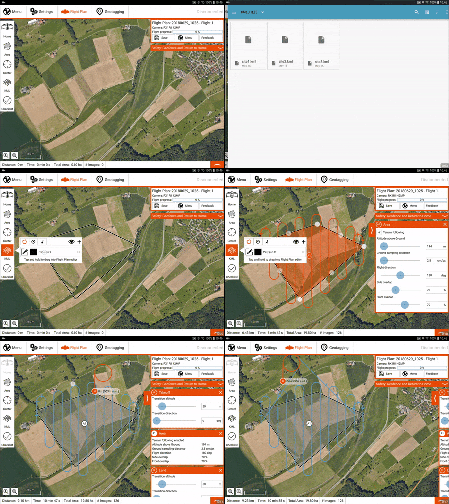
Terrain Following enables users to plan their surveys without having to worry about manually fine tuning parameters such as flight altitude. WingtraPilot now takes the terrain into account automatically during flight planning. Once the user indicates the desired area to be covered, the automatically generated flight paths will follow any undulations in the terrain. This results in safer flights and consistent Ground Sampling Distance. We see our customers embracing this feature already and using it for challenging projects.

Can you give us any examples of such projects?
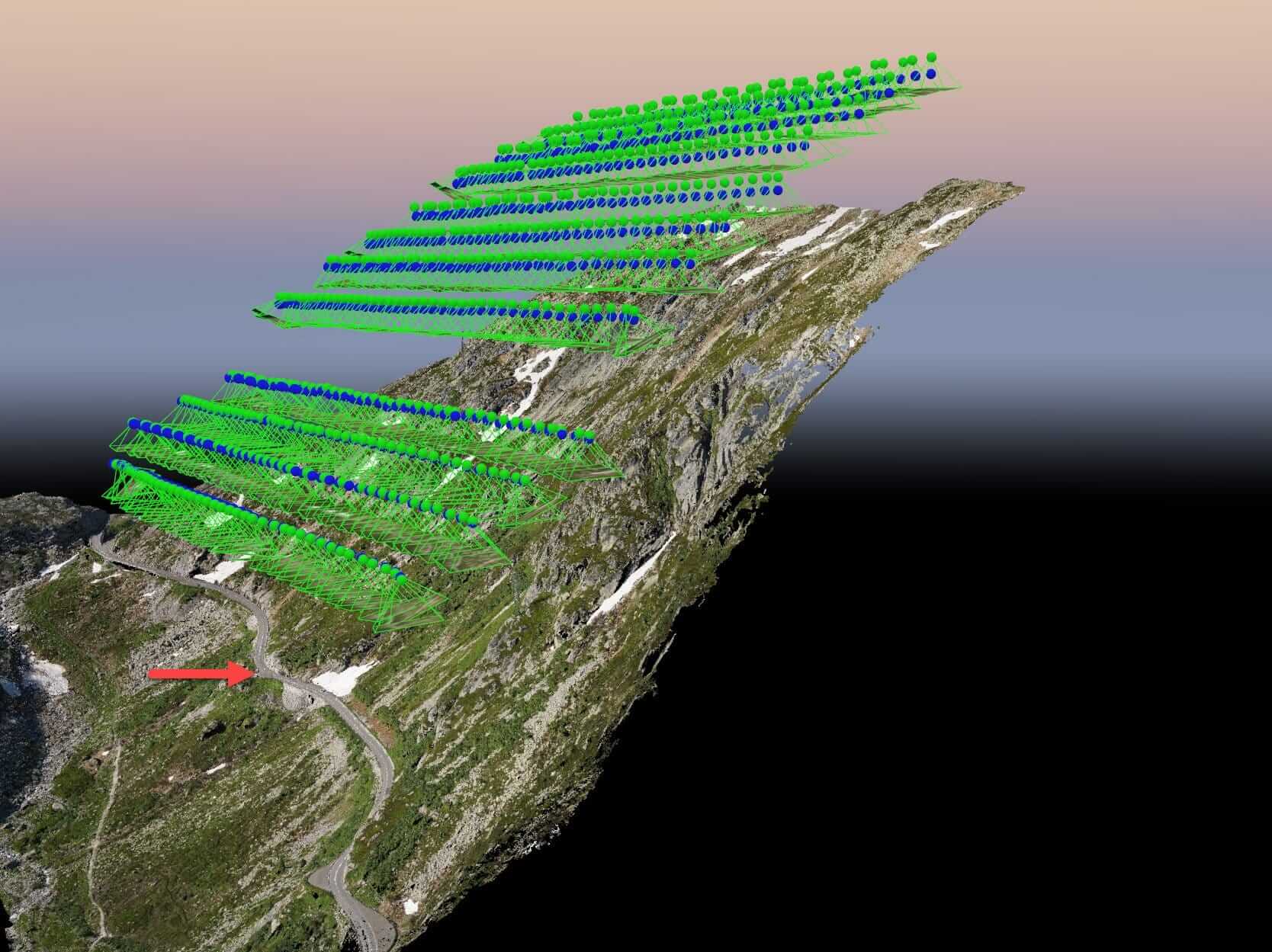
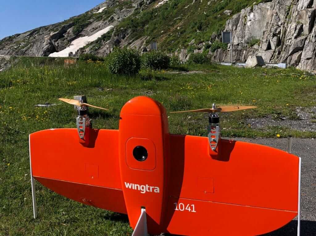
Recently, one of our customers needed to map a steep part of the Gotthard mountain in Switzerland. The take-off and landing spot itself was a small parking spot next to the winding road and directly faced the steep mountainous area to be mapped. Ordinarily, to map such a complex terrain, users would have to manually adjust the flight altitude at various points which means the flight planning itself could easily take up to half an hour of preparation.
With terrain following, however, this becomes plug and play as the user simply had to activate the terrain following feature and indicate the area he had to map. WingtraPilot automatically adjusted the flight altitude minutely to ensure the entire flight was done with the required Ground Sampling Distance and at safe altitude. Similar projects, for example, the vineyard mapping project we have discussed in the past, would also benefit from terrain following.

The other major feature you mentioned was KML import. What can you tell us about this?
Typically, our users receive their project definition from their end customers as a KML file, e.g. a perimeter that the end customer wants to be mapped. Now our users can simply import this KML file to WingtraPilot and let it construct the optimal flight path to cover the area. This not only saves time but also provides the missing link in completing an end-to-end workflow: from receiving the problem definition to data gathering. This way, the combination of KML import and Terrain following greatly enhance the user workflow and form the cornerstone of this release.

Let’s talk about the other features that the release brings: you mentioned quite a few in the beginning.
Apart from Terrain Following and KML import, we have worked on integrating the Micasense Rededge-M multispectral camera into the second generation WingtraOne. This has been in significant demand from our users in forestry and agriculture.
For our users in China and Japan, we now offer basic translation for Mandarin Chinese and Japanese. The work during this release also brings us one step closer to offering full language support for other languages soon.
On the drone side, this release brings various flight performance improvements, particularly smarter landing logic that enhances stability of landing in heavy wind, and so reduces the occurrences of tippings even in more extreme cases.
Since so much focus is on enhancing usability, how do you take user inputs into account when planning for releases and what’s your role in it?
To ensure our product is genuinely fulfilling the needs of our users, it’s important to have customer feedback and integrate that into the product. Being Customer Support engineer is an interesting role exactly for this aspect – being a strong interface between real life applications from customers and our R&D team at Wingtra. Having this strong interface keeps us focused on developing for the market.
As a team full of creative people, everyone has several ideas regarding how the product could develop, and most of the times this is in line with customers’ top needs, and occasionally it’s not. So we need to get all inputs from the customers, filter and prioritize them and then feed them back to the CTO and the R&D team so they can then take these inputs into account while planning the next release cycle.

So what is your personal favorite this release?
The combination of Terrain Following and KML import, for sure. The combination makes flight planning more intuitive and time saving: Terrain Following makes it easy to navigate difficult terrain and KML file import makes it possible to import complex problem definitions from end customers directly to WingtraPilot. Our customers often take on challenging projects and WingtraOne is typically their choice for such difficult tasks. Intuitive flight planning reduces time for our users, increases safety and also requires less support effort.
Being in touch with customers and using their feedback to drive development must be great!
Indeed, I find my current role very interesting as it lets me see what people think of this product that I helped create. As our customer base grows, our support team also grows with it, and so leading and shaping the team also becomes an exciting challenge.
It is exciting to develop cutting edge technology and see how people love what we create. Projects such as mapping the steep Gotthard mountain make the whole Wingtra journey very exciting!
About Julian Surber
Julian Surber has a Masters in Mechanical Engineering with a focus on robotics applications from ETH Zurich, Switzerland. During his studies, Julian joined Wingtra as one of its founding engineers in the Software development team in 2015, and helped bring the first prototype into air. During this time, he worked on developing the flight control algorithms that form the core of the WingtraOne system today. Currently, Julian leads the team of Customer Support at Wingtra.

