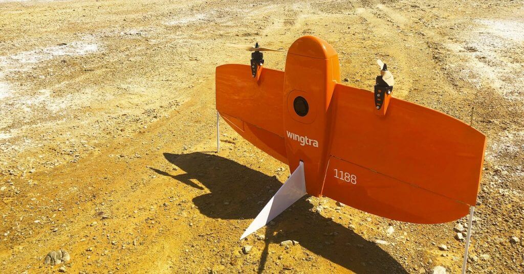
WingtraOne takes road surveys to the next level of speed, savings and safety
The T2 highway is a major artery of traffic connecting Estonia’s two most populated cities—Tallinn and Tartu. The freeway experiences average daily traffic of 22,000 motorists around Tallinn and 11,000 around Tartu. With twists and turns, it presents not only congestion but danger to those who use it. For this reason the government has begun a major project to expand the stretch of highway connecting these two cities from two to four lanes.
Road construction depends on accurate survey measurements, not only to ensure the quality of the road, but also to keep the costs down by gathering volume information to compare with contractor agreements. Vaiko Veeleid is the CEO of Hades Geodeesia, a 30 year-old surveying firm that is tasked with providing survey data services to the government for this project.
To gather higher-accuracy results while giving clients more information, faster, Veeleid has been exploring drone tech for five years. Since he brought WingtraOne onboard at Hades, he said it’s proving to be the go-to equipment for his team on large projects like T2.
- Road monitoring, Tracking construction progress, Volume reconciliation
- Estonia
We see that the data drones provide can offer much more insight to clients. For example, if we fly with a WingtraOne, we can get high-accuracy gravel volumes. Plus, we can give them clear visual information, a site overview and archives so they can always check back to reconcile work.
Vaiko Veeleid
CEO, Hades Geodeesia
Why accurate volumetrics matter in road construction surveying
Hades flies WingtraOne every month over the stretch of road under construction at a given time. The government needs these results, especially, to double check the amount of sand and gravel brought to the site or moved around by contractors. Their estimates weren’t matching the contractors’ amounts, but ground-based surveys were not offering enough data to prove this when it came time to pay for what contractor’s claimed.
“We control the construction guys’ volumes, which they calculate themselves,” Veeleid said. “Whatever they bring on the site, we now control these amounts with WingtraOne data. Since we started, the contractors began to use drones as well. The difference we are finding between our figures and the contractors’ is about two and a half percent. With these controls, everyone is clear, and the information is now lining up.”
These monthly surveys are making a big difference in the amount of time saved. They’re also offering a much higher resolution and accuracy view of operations than terrestrial surveys allow; a view that most likely saves the government thousands of Euros.
If I have to do a survey the ordinary way, with a GPS rover, it will take much more time, and the information is just points. But if I provide it with a drone, it’s very visual and understandable to everyone. The drone photogrammetry accuracy with WingtraOne is very impressive. Very accurate.
Vaiko Veeleid
CEO, Hades Geodeesia
Volumetric breakdown of costs at two sites along T2
While it may seem like a road is just a strip of pavement across the land, a lot goes into planning and construction for a highway to resist the threat of erosion. Specifically, roads require gravel foundation layers to secure the Earth and hold the top layer of asphalt level. Different kinds of gravel (in this case “short one” and “short two”), containing different sizes of stones, are layered to create a stabilizing effect. Below we see their cost per cubic meter and estimate reconciliation figures.


