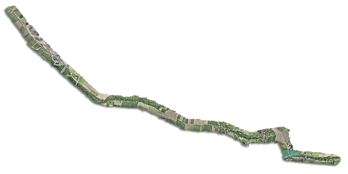
WingtraOne fetches powerful data for the US Army Corps of Engineers and an industrial airfield
Chennault International Airport is a public facility located in Lake Charles, Louisiana, USA. Although it is not a site for commercial airline traffic, its 3.2 km runway is the longest between Houston, Texas, and Cape Canaveral, Florida, and supports general aviation, military operations, disaster relief, manufacturing, large aircraft repair and other aviation businesses. Over the years, airport management discovered that portions of the airfield wouldn’t drain even after a week of dry weather post rainfall.
As heavy rains and tropical storms increased in 2020, this attracted concern about the risk of bird strikes and water on the runway that could shut down operations. So Chennault and the US Army Corps of Engineers recently hired professional engineers to perform a drainage study and develop solutions.
JESCO Environmental & Geotechnical Services, Inc. (JESCO) teamed with Environmental Science Services, Inc. (Es²) and CSRS, Inc. to perform the study using hydraulic and hydrologic models requiring accurate elevation data to perform properly.
- Construction and infrastructure
- Louisiana, United States
We flew the WingtraOne to get good data for the client to perform a drainage study. This is also part of a master plan revision. They want to expand the width of one of the taxiways so that larger planes can access additional portions of the airport, and the data we gathered is grounds for that.
Andrew Milanes
President of Environmental Science Services (Es²), Inc.
Data with a verified absolute horizontal accuracy of 1.5 cm/0.05 feet (2.5 cm/0.08 feet vertical) collected by WingtraOne is now the grounds to conduct hydrologic modeling and for master plan revisions of the Chennault International Airport.
Better safe, and excellent, than sorry
“This project was a challenge because of the size,” said Andrew Milanes, President of Es2, Inc., a Cuban-American geospatial and engineering firm serving Texas, Louisiana, Mississippi and Florida. “It’s 2,200 acres (890 ha), and we needed accurate data in order to use this for engineering studies. Since the airport is in Class D airspace, we needed FAA approval. But they said we couldn’t fly over any runways or taxi-ways while the airport was open.”
As he began looking over the survey area, Milanes created flight plans and schedules around the airport’s agreement to work with FAA guidelines.
“So there were areas that could only be flown when the airport was closed,” Milanes said. “And obviously airports don’t like to close. So they said ‘okay, we’ll restrict operations on a Saturday for four hours.’ So we had to capture this data in that time period.”
These sensitive zones collectively measured 650 acres (265 ha). To maintain visual line of sight, he broke the entire 2200 acre (890 ha) into smaller flight plans and his team got started. Saturday came around, and they hit the field to get the runways and taxiways. They flew the RX1R II payload for maximum coverage with high accuracy. And they might have gotten everything, but WingtraOne puts safety first.
“We got the first section done and started the second,” Milanes said, “but the winds became too strong. And when the wind gets past a certain speed, WingtraOne returns to home and won’t fly. So we had to come back a week later to finish it. If the wind had cooperated we would have been able to get all of it.”
And the results?
Even though we were flying in constant flight-level winds of 25-28 mph [11-12 m/s] over the whole project, the data was great. We put out 40 control points, and we used 20 as checkpoints. It was all very good. I always get great results with the Wingtra.
Andrew Milanes
President of Environmental Science Services (Es²), Inc.
When the technology evolves, the projects appear
The situation at Chennault International was not new, but it’s safe to say that a feasible solution only emerged in the last several years—as WingtraOne matured from an innovative ETH spinoff into a game-changing survey and mapping drone.
Companies like JESCO and Es² are now working on the leading edge of industry with a UAV that not only gathers highly accurate data, but also does so with breathtaking efficiency and enough reliability to earn stakeholder trust in high-security environments.
Dr. Whitney Broussard, Senior Scientist with JESCO agrees: “With UAS technology, we are completing surveys that have similar accuracies to traditional methods, but we’re doing it with less time in the field. And we’re producing orders of magnitude more data—points every few centimeters instead of points every few meters. The real winners here are the data modelers, analysts, and project managers who can use drone-based products in novel ways to improve their workflows and decision making processes.”
Milanes and Broussard have been front row for the development of drone technology that lead to this point. After more than 20 years in the geospatial industry, their teams saw the signs and started adapting drone data and photogrammetry into their workflows five years ago. Specializing in large-area acquisition and high-precision data development is a niche that they like to be in. So they invested in WingtraOne to capture more efficiently, which has become a new normal.
In fact, in just four days, 17 flights, and 6.5 hours of flight time, Es² and JESCO gathered imagery at a final, verified absolute horizontal accuracy of 1.5 cm/0.05 feet (2.5 cm/0.08 feet vertical) using independent check points for the airport project.


