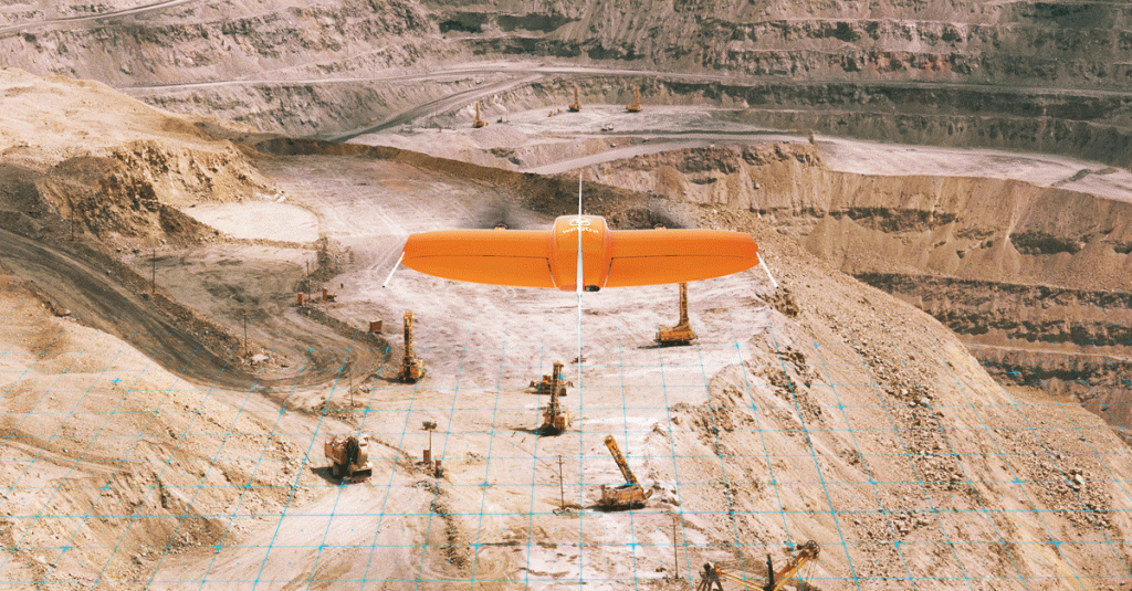
An accuracy and coverage leader among professional mapping drones, the WingtraOne now features the latest MicaSense multispectral payload option, the RedEdge-MX. In fact, the WingtraOne is now the only VTOL drone to carry the robustified RedEdge, making it perfect for those in need of wide-coverage and high-quality multispectral imagery and reliable mapping results even in harsh conditions.
“In cases of rough gravel terrain, mountainous areas and tall tree or plant stands, WingtraOne’s VTOL offers more control over take-off and landing,” said Swati Casanova, Wingtra Supply Chain manager. “The RedEdge-MX is the industry standard for multispectral vegetation monitoring, and we’re excited to bring it to our customers. For those in forestry and high-value agriculture, it’s an investment that pays off in terms of flexible, efficient image gathering and top-quality results.”
The RedEdge-MX allows farmers and specialists to seamlessly compare detailed maps of crops and forest over the weeks, months and seasons. Its outputs can be used for crop health indexes, true-color composite imagery and advanced analysis. In one flight, you can gather RGB color, NDVI and advanced vegetation index layers. Its fast capture rate works for higher fixed-wing flight speeds, like WingtraOne’s.
The MX upgrade introduces high accuracy radiometric calibration–due to its new patent-pending sensor, the DLS 2–along with enhanced durability and temperature resistance. RedEdge-MX features include:
- High resolution of 8 cm (3.1 in)/px GSD at a 120 m (400 ft) altitude
- Global shutters for distortion-free images
- Proven reliability and durability–can be used in temps up to 60 ℃/140 ℉
- Calibrated, repeatable data (DSL 2 and calibrated reflectance panel)
- User-friendly data outputs–compatible with almost all processing platforms
“Oftentimes, vegetation mapping needs to be completed over areas with little room for traditional fixed-wing operation or in tricky topography where a belly-land is not ideal. RedEdge-MX paired with WingtraOne allows users to complete these kinds of flights stress-free. The controlled vertical takeoff and landings of WingtraOne really simplifies the mission over canopies like forestry or sugarcane, especially for newer operators,” said Drew Baustian, Business Development Manager at MicaSense.
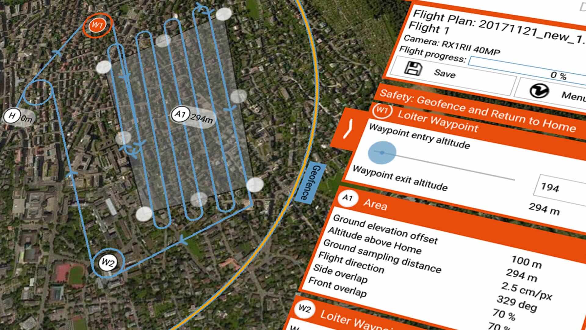
Adding to the perks of this new integration is the fact that WingtraOne customers enjoy safer and more robust missions. Compared to conventional fixed-wing drones, the WingtraOne’s VTOL eliminates belly landings and secures not only the drone but also its expensive payloads. WingtraPilot software offers image overlap options, terrain following and downloadable maps, all presented through an intuitive interface.
“You simply follow the steps, plan your flight and begin–WingtraOne lifts off, cruises, takes your images and touches down, automatically,” said Casanova. “You watch it fly according to your plan on our military-grade tablet, and you can take manual control at any time.”
The new WingtraOne-RedEdge MX system is scheduled to ship end of April 2019. To reserve yours, contact Wingtra.
Webinar
In order to learn more about multispectral data collection in harsh conditions watch a joint Wingtra and MicaSense webinar about collecting multispectral imagery in the most difficult environments.


