Ground sample distance explained and why it matters
When it comes to aerial data, a surveyor’s job is to capture useful insights that their company can act upon. How useful those insights are depends on the quality of the data collected.
The most fundamental factor in the quality of the data is ground sample distance (GSD), which will determine the accuracy and precision of the insights and how much they help a project stay on track with minimum overhead.
-
1Drone surveying
-
2Drone survey accuracy
-
3Ground sample distance (GSD)
-
4Ground control points
-
5Save time with drone surveying
In this article, we’ll explore the fundamentals of Ground sample distance (GSD) and how you can leverage this knowledge to get the best possible data.
This guide also gives details on why sensors are engineered a certain way to achieve the utmost accuracy and efficiency in projects. We’ll also mention some case studies, the GSDs achieved and why this was important for the overall success of these projects.
Whether you’re a construction site manager, a seasoned surveyor or new to drone technology, this article promises to enhance your understanding and application of GSD in your projects.
GSD: the ground according to one pixel
The size of the real world captured by a pixel in a digital image, GSD, is based on the flight altitude and camera parameters, which we’ll discuss below.
When you understand GSD as a relationship between a distance on a mapped surface and a pixel, it’s easy to calculate the size of the ground and features captured in a drone image.
Accuracy and drone ROI
Let’s expand on this logic and say you take aerial images of a railroad track. You set your flight and payload parameters to achieve a GSD of 0.4 in (1 cm). On the surveyed map, you want to check for any gauge deviations on the railroad track.
To do this, you would measure the distance between the left and right inner part of the railroad tracks. The software will then convert the pixel distance into a real-world distance.
On the other hand, if you want to know the length down to the sub-centimeter (0.4 in) level, you cannot measure it exactly. Why?
Each pixel is a single square of visual information without definition. So since in this case any space smaller than 0.4 in (1 cm) measures one pixel, there is no way to zoom in further beyond that square.
The same is true if you need to accurately locate the center of a ground control point or the edge of a building. With a better (lower) GSD, and higher resolution, it will be much easier to see the center point or edge, because each pixel represents a smaller space. In the context of your survey, this kind of detail difference adds up over large areas, and it matters.
How surface GSD impacts volume accuracy
A 1 cm (0.4 in) surface error spread over many meters represents a much bigger volumetric error that can be really expensive in cases of earthwork contract reconciliation and forecasting earthwork that needs to be done.
For example, if your GSD is 5 cm (2 in), the accuracy error will be at least 5 cm (2 in). And you’ll cube this amount for volumes all along the surface of the stockpile/volume measured.
In a road construction project based in Estonia, you can see in real cost, how accurate data makes a difference to budgets around road work (table below). The gravel stockpile volumetric data captured at a good quality in accuracy saved a company hundreds of thousands of dollars, in fact.
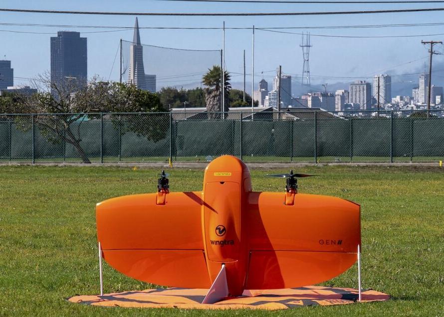
Gravel cost adds up. With high-accuracy WingtraOne drone data, surveyors can push the accuracy standard up so the contractor must measure with drones too.
Using terrestrial methods, the difference between real volume and measured volume is averaged around 10 percent. Without drones, at least this much money is under discussion, costing clients or contractors a lot and making reconciliation a huge challenge.
What difference does drone design make to reliable GSD?
As you can see by now, GSD is something enabled or limited by the sensor that captures the pictures. Very basically, the resolution you capture based on the height you fly and the limits of the sensor will avail a certain sample distance value.
And yet the sensor must be carried somehow, so the drone itself makes a difference in terms of how fast it flies as well as what kind of camera it can carry.
With quadcopter or traditional fixed-wing drones, the system can only support so much weight in a payload. Full-frame and higher resolution sensors are heavy, so only VTOL drones feature passive-lift flight that lets them carry such a camera plus the vertical landing to protect it when it reaches the ground.


