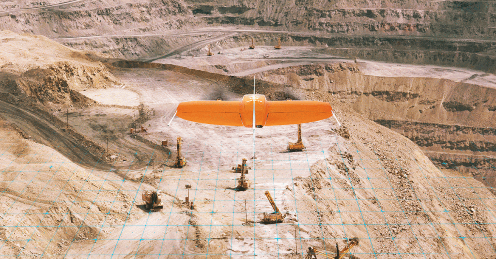
Wingtra and 3DR, producer of the Site Scan drone data platform, recently signed a partnership agreement to benefit mining and surveying industry experts. Wingtra’s VTOL drone WingtraOne and Site Scan form a complete aerial surveying solution—from highly efficient aerial data collection, to postprocessing and analysis.
Through this exciting partnership, 3DR now endorses the WingtraOne as the preferred fixed-wing drone for its Site Scan platform. Wingtra and 3DR will distribute this complementary solution across a range of industries, focusing particularly on mining and surveying teams. 3DR will sell Wingtra products through their existing distribution partnerships across North America, Europe, and Australia, and Wingtra will sell Site Scan worldwide.
We’re thrilled to officially partner with Wingtra and make a fixed-wing VTOL drone available to our customer base. We’re looking forward to deepening this partnership and continue making Site Scan and Wingtra the go-to drone solutions for mining teams across the world.
Chris Anderson, 3DR CEO.

Mining and surveying professionals are turning to fixed-wing vertical take-off and landing (VTOL) drones, because of their unique ability to take off and land vertically as a multicopter but fly as fast a fixed wing. WingtraOne is a leading example of this, offering safer, more dynamic launch and land, unmatched resolution and broad coverage in a single flight. In response to the growing demand for VTOL fixed-wing combined technology, 3DR chose Wingtra as a partner, due to many of its outstanding features, including proven results with absolute accuracy down to 1 cm (0.4 in).
You can easily upload photos collected with the WingtraOne into the Site Scan cloud-based web application to process them into high-resolution maps and 3D models. Site Scan users include leading mining firms around the world, such as Newmont, Newcrest, and Gerdau. They turn to this robust software as an all-in-one solution where they can analyze their drone-captured data with a suite of measurement tools, securely share them with teammates and stakeholders, and export them for use in CAD, mine planning and geological software.
Our partnership with 3DR lets our customers analyze high precision aerial data directly in Site Scan—in a lot of cases without any additional tools. Together, WingtraOne and Site Scan make up a complete solution and we are very excited to offer this bundle to the industry.
Basil Weibel, Founder & CRO of Wingtra.
Looking for a complete aerial surveying solution for your projects? Register for an online WingtraOne demo webinar or contact our representatives.


