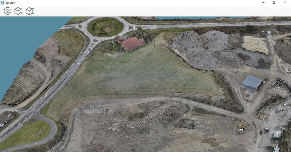
Professionals gathering rich survey and mapping data with WingtraOne now have the option to process it with the robust software solution, Correlator3D.™ Developed by world-leading software company SimActive Inc., Correlator3D™ can provide survey-grade accuracy and detailed reports, and process an unlimited number of images, fast, through a user-friendly interface.
The high-quality data collected with our WingtraOne PPK drone is well supported by the rigorous workflow of Correlator3D. Our customers can generate extremely good quality maps and surface models on the SimActive platform even for very large projects.
Basil Weibel, CRO at Wingtra

WingtraOne has set a standard for coverage and accuracy in professional drone mapping projects due to its hybrid VTOL capabilities—allowing it to take off and land like a multirotor and fly like a fixed-wing. With its flagship Sony RX1R II full-frame 42 MP payload, it can achieve absolute accuracy down to 1 cm (0.4 in), and coverage twice that of a fixed-wing with a 20 MP payload for the same GSD.
SimActive software and WingtraOne imagery is a great match, combining high accuracy and very high resolution. As an example, the combination allows for accurate volume calculation and extraction of spotless contour lines.
Francois Gervaix, Technical Advisor at SimActive
Learn more about photogrammetry software compatible with WingtraOne data.


