eBee X vs. WingtraOne
senseFly is a Swiss drone company that is most widely known for its fix eBee, which has been a pioneer in the industry since 2009. Wingtra, also a Swiss company, focuses solely on vertical take-off and landing (VTOL) drone technology for surveying and mapping applications. Here is your summary followed by the ultimate long-read comparison of the drones.
-
1Mapping drone
-
2LIDAR drone
-
33D Mapping drone
-
4Fixed-wing drones
-
5Multispectral drone
- Achieving large-scale precision with multispectral drone data
- Multispectral drone data revolution in agriculture and forestry
- Multispectral camera MicaSense RedEdge-P
- Tracking bark beetle infestations [Case study]
- Manage locust invasion [Case study]
- High quality data collection [Webinar]
- Multispectral data in research [Webinar]
-
6RTK drones
-
7Drone mapping applications
-
8Drone mapping software
-
9Drone photogrammetry
-
10Blue UAS drone
The summary: VTOL vs. fixed-wing
Reading time: 5 minutes
Both quality Swiss drones, the eBee X and WingtraOne lead the survey and mapping fields for distinct reasons: eBee X is a well-industrialized and reliable fixed-wing survey and mapping drone, and WingtraOne offers VTOL combination with unsurpassed image quality for coverage.
While they both cover 7 to 14x more than multicopters can achieve, the WingtraOne can cover almost 2x more area than eBee X at the same GSD in one flight. What differentiates these two drones the most, however, is their take-off and landing technology.
WingtraOne relies on vertical take-off and landing (VTOL) to lift off and touch down like a multicopter, while it transitions to a fixed-wing to cover wide areas. The eBee X is a traditional fixed-wing drone that requires hand launching and lands on its belly.
Belly landing introduces a lot of limitation on your drone ROI when you consider that each time you land, your drone impacts the ground. These landings transfer shock and can wear down and damage the craft and payload with repeated use. Moreover, you have to make sure that each launch and land happens with wide clearance and on terrain that is dry and soft enough to support it.
Higher end aerial mapping cameras are heavy, and a fixed-wing like eBee X cannot carry them due to their weight. Currently only VTOL drones can offer image resolution of 42MP, which translates to better accuracy, and ultimately more reliable map reconstruction.
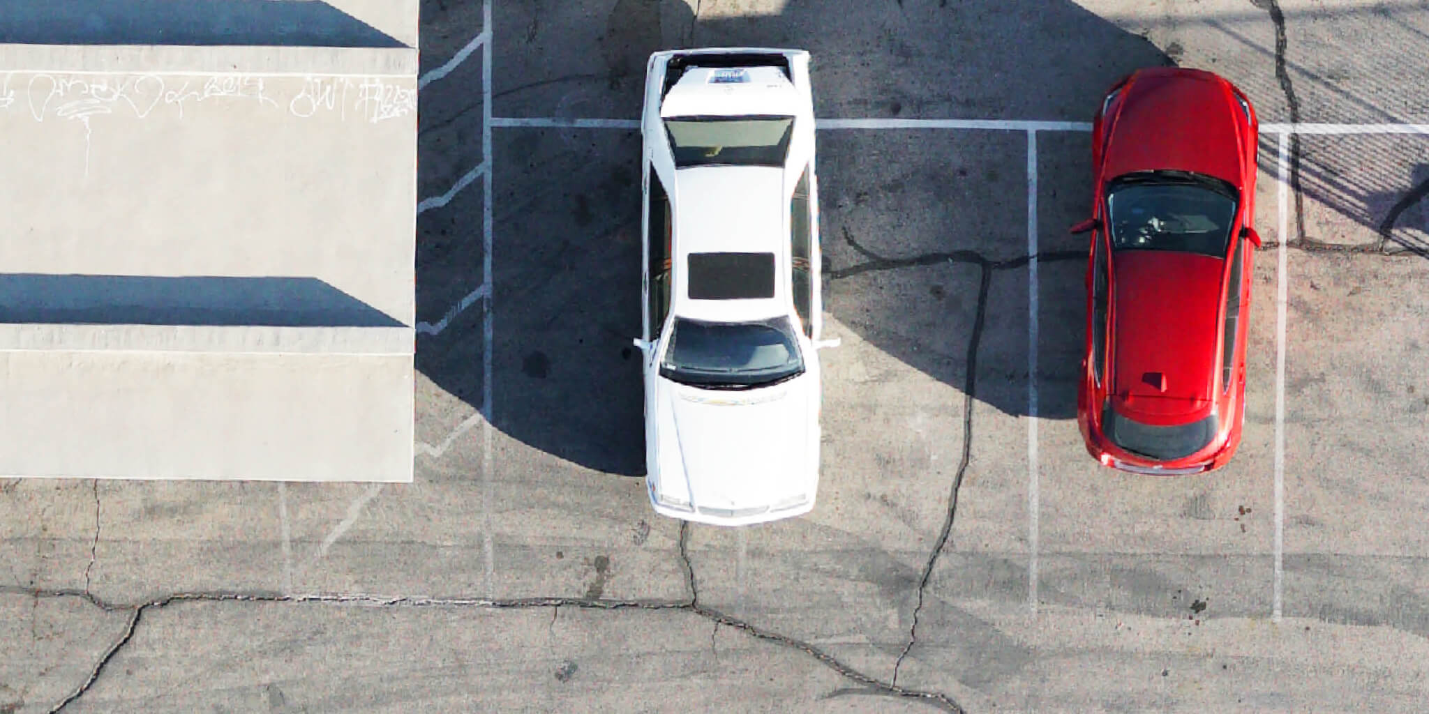
For strong examples of how VTOL impacts image quality, we flew both drones to test this based on different parameters. The following test is based on lowest GSD at 65 m (213 ft) altitude, since it was the lowest allowed at our location.
Important to note: the lowest GSD that eBee X can achieve is 1 cm (0.4 in)/px, which we didn’t test. As for the WingtraOne, it is 0.7 cm (0.3 in)/px at 62 m (203 ft) altitude.
Best possible GSD at 65 m (213 ft) altitude


