- Urban planning and land management
- Infrastructure maintenance
- Sony RX1R II
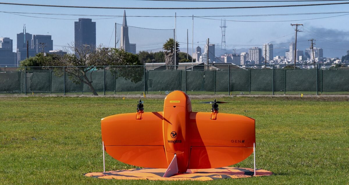
WingtraOne GEN II demos faster, higher-quality drone mapping of Treasure Island, San Francisco

Treasure Island is an artificial development off the coast of California in the San Francisco Bay area. It was built in the 30s for an international exhibition and is now a historical landmark, featuring buildings and an air facility that are historically and geographically relevant. For this reason, it’s under close scrutiny. In fact, it’s been drone mapped every week since 2018.
The company contracting these surveys, Engeo, recently agreed to a demo provided by their photogrammetry software specialists, TraceAir, who recommended a drone upgrade for more efficiency and better data. To help Engeo see the difference WingtraOne GEN II would make, they mapped the Treasure Island project with both the GEN II and their usual, quadcopter solution.
Explore the results for yourself
This interface allows you to zoom and click between outputs to explore the quality difference, from clear/blurry edges to complete/incomplete output reconstruction based on the supplied data.
With our other drone, it takes our pilots about four flights and a couple of hours with battery changes. But with the GEN II we covered the same area of Treasure Island in just one flight. This highlights the advantage of VTOL as the blend of fixed-wing and multirotor strengths plus how easy it is for the user.
Dmitry Korolev
CEO at TraceAir
CEO at TraceAir, Dmitry Korolev says that his team processes data from every kind of drone for a range of projects, but he’s eager to get more clients using WingtraOne, because it’s much easier to execute high-level, next day output that the company is known for. Simply put, the data is reliable, and processes with less likelihood of artifacts or gaps.
This close-up of the demo outputs shows just one case of artifacts and reconstruction differences. More examples can be found when zooming in on the data-set module above.


