With all kinds of lower-cost options out there, the thought of investing more in a drone can be daunting. Yet if you need a professional survey and mapping solution, drone cost is directly linked to the time and money you’ll save on your projects. So what’s the real difference between a 10,000 USD and a 30,000 USD drone?
1. Quality, dependable components for a long product life
As with anything you buy, if it’s made up of cheap parts, you’ll get a lower quality experience and a shorter life out of it. Let’s look at a few examples of how high-end components make a difference: cameras, batteries and GNSS receivers.
Cameras
Just like a professional photographer will achieve more with a high-quality SLR camera than a smartphone, surveyors and mappers will get more from a high-end drone payload than a lower-grade camera. Cheaper drones typically carry 20MP cropped-frame cameras. With these, you need to fly lower to get good resolution and accuracy, and the image quality still suffers because of the reduced light sensitivity of the cropped frame.
On the other hand, a 3000+ USD drone payload affords higher-resolution (>40MP) images, high-quality optics and a full-frame sensor. With this payload, you can fly twice as high and achieve the same GSD. This enables much wider coverage per flight without compromising on accuracy. A higher-quality drone also features good camera integration so that GNSS time stamping on images is accurate. Considering drone speeds when capturing data, this is a crucial factor in getting reliable drone map results.
What difference does a good camera make?
DJI sensor
20MP cropped sensor
GSD: 1.5 cm (0.6 in)
Altitude: 65 m (213 ft)
WingtraOne’s Sony RX1R II
42MP full-frame camera
GSD: 1.5 cm (0.6 in)
Altitude: 133 m (436 ft)
Click and slide to compare images with the same GSD of 1.5 cm (0.6 in), but different camera quality. The test poster on the left was captured by a DJI cropped 20MP sensor and the poster on the right was captured by WingtraOne’s Sony RX1R II payload.
Drone batteries
UN compliant Lithium-ion drone batteries cost more. Here’s why they’re worth it. Lithium-ion batteries are known to pack a lot of power for their size, but this power can turn into short circuits or fires if it’s not contained and managed.
One way to ensure that you have the safest, best-quality batteries is to look for third-party-verified UN compliance.* This means resilient casing that resists strong impact, and a consistent battery management system (BMS) that prevents short circuiting, shock, undervoltage and overvoltage. These features are not cheap, but they are much less expensive than possible damage from an unsafe battery pushed past its limits.
Are your drone batteries legal to transport on an airplane in case you need to order them from abroad or travel with them? Check and see. Many are not.
GNSS receivers
When it comes to assessing the quality of GNSS receivers, high-end drone-based units are no different than terrestrial measurement devices like total stations. I.e., professionals understand that a 15k USD total station will provide higher quality results than one costing 2-3K. So if you’re serious about accurate drone photogrammetry results, you’ll need a high-performance PPK GNSS receiver. Multi-frequency (including L1/L2) receivers are more of an investment than single frequency because of the sophisticated way they reconcile these two types of satellite signals. This level of precision is mandatory for achieving centimeter-level absolute accuracy in a drone map. And it costs several thousand dollars.
Adding up the cost of just these three high-quality components to reach almost 10,000 USD, we’re already in the price range of a cheaper drone by itself. It’s also important to note that some drones’ list prices may not include a ground station, batteries, camera, or image sorting and tagging software (in contrast, all of these come standard in a WingtraOne bundle).
2. A bigger investment in R&D
A high-end drone will provide an out-of-the box seamless experience. You’ll also get regular software updates and new features. This is not the norm, and it doesn’t happen automatically.
While many drone companies employ between two and five engineers, a high-end drone company like Wingtra involves a team of more than 30 hardware and software engineers. This team develops and tests new features for the drone and oversees each unit’s assembly and rigorous testing.
Another point to consider here is that most commercial drone companies today are focused on a range of generic flight and image-capture features targeting the every-day consumer who wants an aerial location shot or selfie. However, in the case of a high-end professional drone like WingtraOne, engineers are focused on features particular to surveying and mapping. This makes it possible for customers with little previous drone experience to produce broad coverage, high-accuracy maps, on demand.
While a drone and its software features are keys to all of this, so is a well-integrated post-flight workflow, which brings us to our next point …
See for yourself how other, cheaper drones compare to Wingtra’s in this detailed drone comparison report.
3. Ease of use and intuitive post-processing workflow
It’s great to fly and capture images with ease, but once you land, making use of those images efficiently requires user-friendly software. Some drones come with it, some do not. When they don’t, you’ll need to find open-source software, which may or may not help you get good results but will definitely cost you time to figure it out. This will also cost time to organize and manage your images, as well as edit them individually if light conditions are not ideal, since the camera quality will likely be lacking in a cheaper drone setup. Since a drone survey often consists of thousands of images, it will quickly cost you hours to organize and manually adjust exposure for each image.
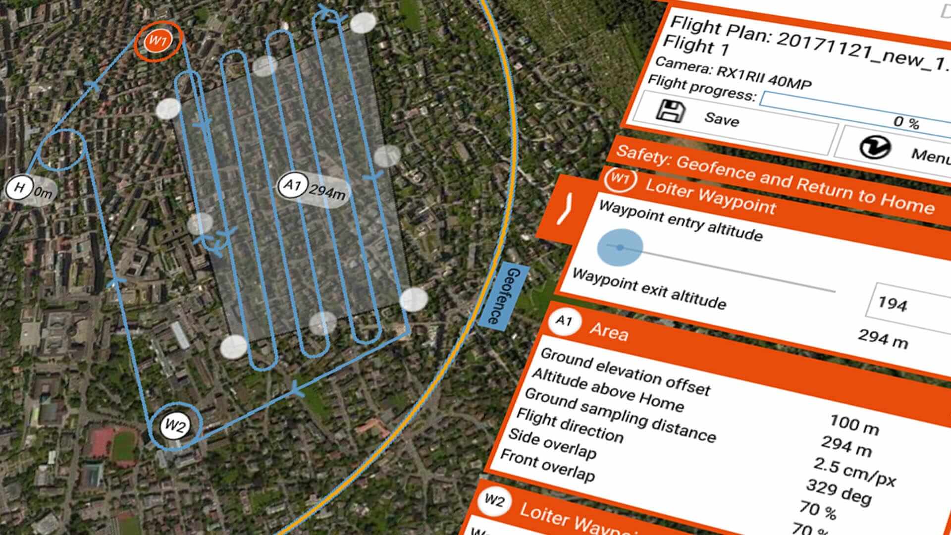
An advanced drone includes robust image organization and geotagging solution that saves you time and money. WingtraHub software, for example, automatically organizes images from WingtraOne flights and enables smooth geotagging and PPK processing. This software is included in the price of the drone.
4. An experienced support team and a global distributor network
If you’re running a lot of flights, challenges can pop up for a range of reasons. In these cases, the amount that a drone company has invested in human resources to support you will show through in the quality of the customer support that you receive.
Wingtra’s support team is made up of ten professionals based in North and South America, and Europe. They come from geo-spatial, engineering, photogrammetry and surveying backgrounds. When you submit a ticket, you will get a response within 24 hours—either a solution or the steps to solving your challenge in the fastest way possible.
The Wingtra Support team also writes regular focused drone know-how articles for a customer Knowledge Base, and provides trainings and photogrammetry assistance on request.
Add to all of this more than 55 Wingtra distributor partners worldwide, and a growing number of Wingtra certified repair centers. This is a company that invests in meeting any possible customer needs, fast.
Bottom line: robust results require an investment
Why would a drone like WingtraOne cost up to three times more than some of the other commercial UAV price tags you’ve seen? We hope the answer is now clear: quality components; dozens of engineers focused on R&D and a seamless experience capturing high-quality drone survey and mapping results, as well as knowledgeable, proactive drone support. All of these cost more, but the quality of your results and the tight workflow present less expense in the long run.
*UN/DOT 38.3 (a.k.a., T1-T8 Tests and UN ST/SG/AC.10/11/Rev. 5) compliance implies transportation safety testing for all lithium metal and Li-ion cells and batteries. The qualification involves eight rigorous (T1 – T8) to ensure safety in cases of transportation. Although third-party test lab certification is not required, most companies, including Wingtra, choose to use third party test labs.


